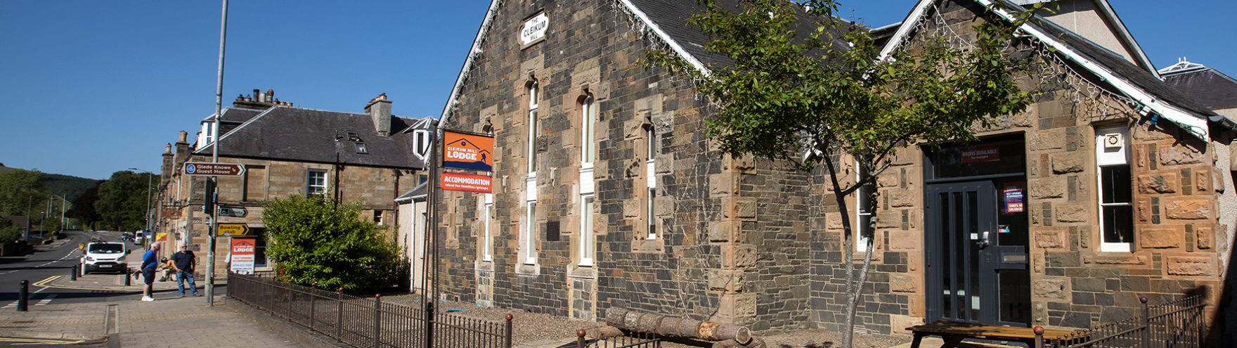


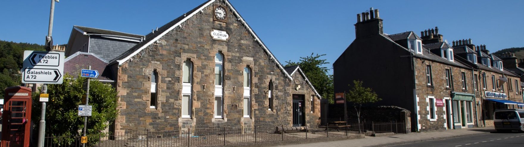

4.6 mile trail walk or trail run from Cleikum Mill Lodge
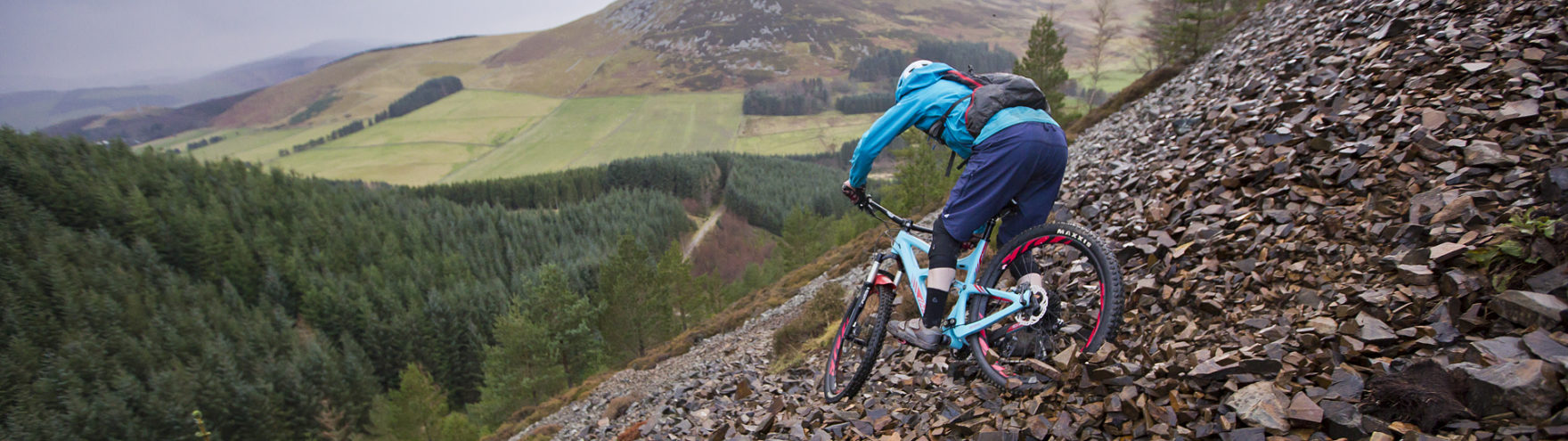
A very varied walk or trail run with varied terrain and some steep climbs and descents, but stunning views to make it worthwhile. Good walking/trail running shoes required as quite uneven and could be quite muddy at times.


Grading: Demanding (steep climbs and descents and some scrambling)
At a glance:
- Distance: 4.6 miles /7.4 kilometres
- Ascent: 990 feet / 301 metres
- Footwear: Sturdy footwear required – could be muddy after wet weather
- Signage: None
Route description:
Starting at Cleikum Mill Lodge, go east along the high street to Leithen Road. Turn left and go up Leithen Road, past the car park on the right and a few houses, then look carefully for the Cuddy Brig tucked inbetween a couple of houses on the right, crossing the Leithen Water.
The Cuddy Brig was built in 1701 so parishioners on the east side of Leithen Water could attend their church at the Kirklands dry-shod and when the river was could not be forded during a spate. Before the coming of the turnpike road in 1775 this picturesque bridge was a valuable crossing point on the hill route to Peebles, which continued across the Green, up the Strip and over by Glenormiston to the Dirtpot below Nether Horsburgh. Forever the subject of photographers and artists, the Cuddy Brig provides foot access to Pirn Wood (the Backs) and Pirn Hill Fort (Windy Knowe).
Once over the Brig, turn left and follow the lovely undulating track along towards Innerleithen Golf Course. When you see a gate on the left and a wide forest track on the right, keep going straight ahead about 10 metres until you see a narrow track on the right heading up the valley.
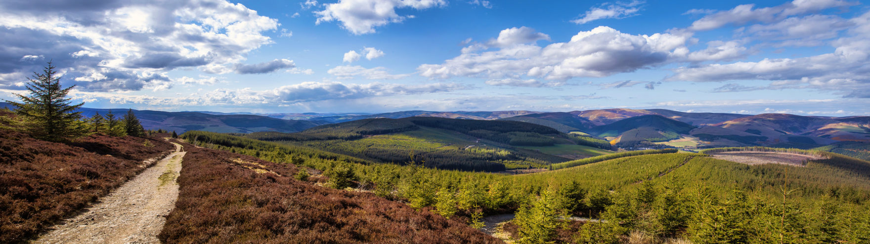
Follow the track uphill – it’s quite narrow and steep in parts and has a small section of scree, but eventually comes out on a wide forestry/vehicle track. Once you’ve recovered (and enjoyed the view), go right along the track, gently climbing further uphill.
Continue on this track for around ½ mile until there is a wide clearing on the right with a grassy track leading through the clearing. Follow this track which takes you downhill back towards Innerleithen. This is quite a steep descent, but stunning.
After ½ mile or so, you come to the track around the edge of Pirn Hill (you should see some stones on the top of the small hill – this is Pirn Hill Fort).
Pirn Hill Fort – The tablets of stone flank the lower reaches of Leithen Water like two sentries on watch. Caerlee Hill and Pirn Hill, the latter better known in Innerleithen as Windy Knowe, are not particularly high but the summits between them nevertheless give commanding views of the Tweed valley in two directions, plus Leithen valley northwards and the vale of the Quair as far as Kirkhouse. Archaeological research suggests the tops of these hills were once fortified and occupied by Iron Age Celts (roughly 500BC to 500AD), evidence that people have been living in the vicinity of Innerleithen for over two thousand years.
You might want to have a wander up to see the information boards and look at the views of Innerleithen, or if you want to get back to Innerleithen, skirt around the left-hand side of the hill and follow the track back to Innerleithen. It heads downhill from Pirn Hill and then bear right (continuing downhill) till you come to a path along the river. Bear right (keeping the river on your left) until you come back to Cuddy Brig and retrace your steps back to Cleikum Mill Lodge (or treat yourself to a well-deserved ice cream at Caldwell’s.
Points of interest
- The Cuddy Brig and Pirn Hill Fort (see descriptions above)
Facilities
- There aren’t any facilities once you cross the Cuddy Brig, so make the most of the cafes, restaurants, pubs and shops in Innerleithen before and after your walk/run.
Details are current as of June 2017. Cleikum Mill Lodge cannot be held responsible for any changes that make take place to the route. Walkers/runners use these routes at their own risk.